As commercial software become increasingly expensive, many government institutions across Africawide are turning to opensource applications for data management and analysis. The adoption of opensource technology, raises the challenge of technical skills needed to customize the software to fit organizations’ data needs.
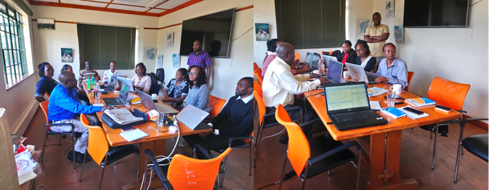
The Amboseli Conservation Program (ACP) has over the years developed opensource technologies for application to various research needs (download paper here). In March 2019 the ACP team in collaboration with the South-Rift Association of Land Owners (SORALO) and the Uaso Ngiro Baboon Project (UNBP) trained the Department of Regional Surveys and Remote Sensing (DRSRS) in the applications of these software tools. The training sessions covered data management in R, Rstudio, statistical significance testing, mapping and estimations of animal populations and distributions from aerial survey data conducted in Kajiado County, southern Kenya. The training took place at African Conservation Centre offices in Karen.
The tools, which integrate data entry, processing and mapping, can be easily adapted to processing countrywide species population estimates from aerial surveys conducted by DRSRS. Historical counts can also be rapidly processed for spatial trends and subsequent policy advice.
Looking ahead, ACP will expand the training for other conservation organizations to include web applications in R shiny for data analysis, management and mapping. The application requires users to have basic computer skills hence allowing non-technical personnel to interact with and process available institutional data.
As commercial software become increasingly expensive, many government institutions across Africawide are turning to opensource applications for data management and analysis. The adoption of opensource technology, raises the challenge of technical skills needed to customize the software to fit organizations’ data needs.
The Amboseli Conservation Program (ACP) has over the years developed opensource technologies for application to various research needs (download paper here). In March 2019 the ACP team in collaboration with the South-Rift Association of Land Owners (SORALO) and the Uaso Ngiro Baboon Project (UNBP) trained the Department of Regional Surveys and Remote Sensing (DRSRS) in the applications of these software tools. The training sessions covered data management in R, Rstudio, statistical significance testing, mapping and estimations of animal populations and distributions from aerial survey data conducted in Kajiado County, southern Kenya. The training took place at African Conservation Centre offices in Karen.
The tools, which integrate data entry, processing and mapping, can be easily adapted to processing countrywide species population estimates from aerial surveys conducted by DRSRS. Historical counts can also be rapidly processed for spatial trends and subsequent policy advice.
Looking ahead, ACP will expand the training for other conservation organizations to include web applications in R shiny for data analysis, management and mapping. The application requires users to have basic computer skills hence allowing non-technical personnel to interact with and process available institutional data.