
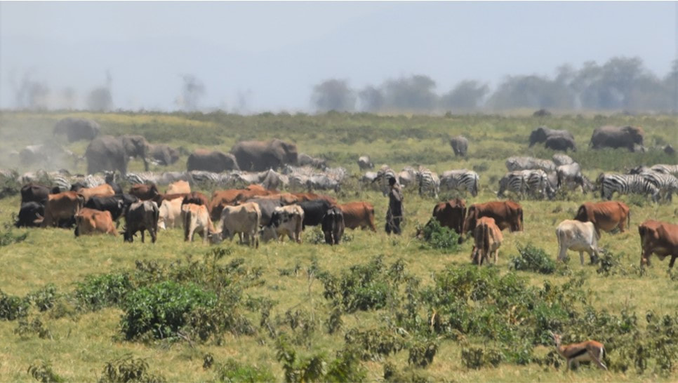
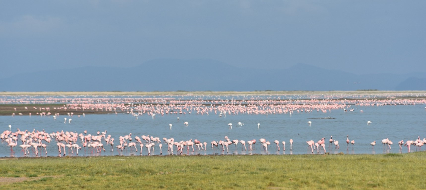
The heavy rains in Kenya which began in September and continued through January caused extreme flooding in Amboseli National Park. By December the floods stretched from the Loitokitok to Namanga roads (see photos below) causing a closure of the airfield and viewing roads. Inbound air traffic was diverted to Tawi and Ol Doinyo Uas strips, resulting in transfer times to the lodges of up to three hours. The disruptions and tourist complaints carried in the social media led to cancellations and heavy revenue losses to the hotels and the Kenya Wildlife Service (KWS).
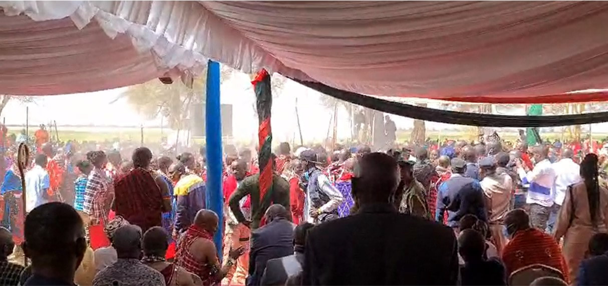
The lodges, led by Ol Tukai, called for a meeting in Amboseli on 18th January to see what could be done to open the airstrip, roads and solve the flooding problem. The meeting was chaired by the senior warden of Amboseli, Kenneth Nashu, and attended by KWS road engineers, Ol Tukai Serena and Ol Tukai lodge representatives, Amboseli Trust for Elephants and the Amboseli Conservation Program.
The warden noted that the flooding had grown worse in recent years, was causing extensive damage to the roads and threatened the future of tourism in the park. He asked the meeting to identify the source and cause of the flooding, restorative measures for the airfield and roads, and preventive measures to curb future floods. The lodge operators, raising their concerns about the disruptions to visitors and sharp drop in revenues, asked for emergency measures to restore the park.
Asked to give a background to the flooding, I made the following points and recommendations which I have supplemented with photos:
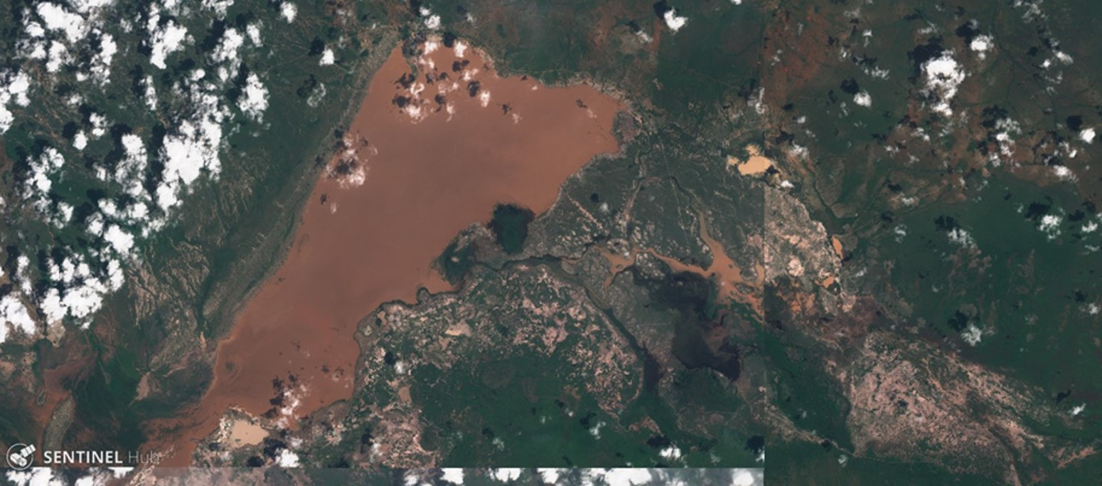
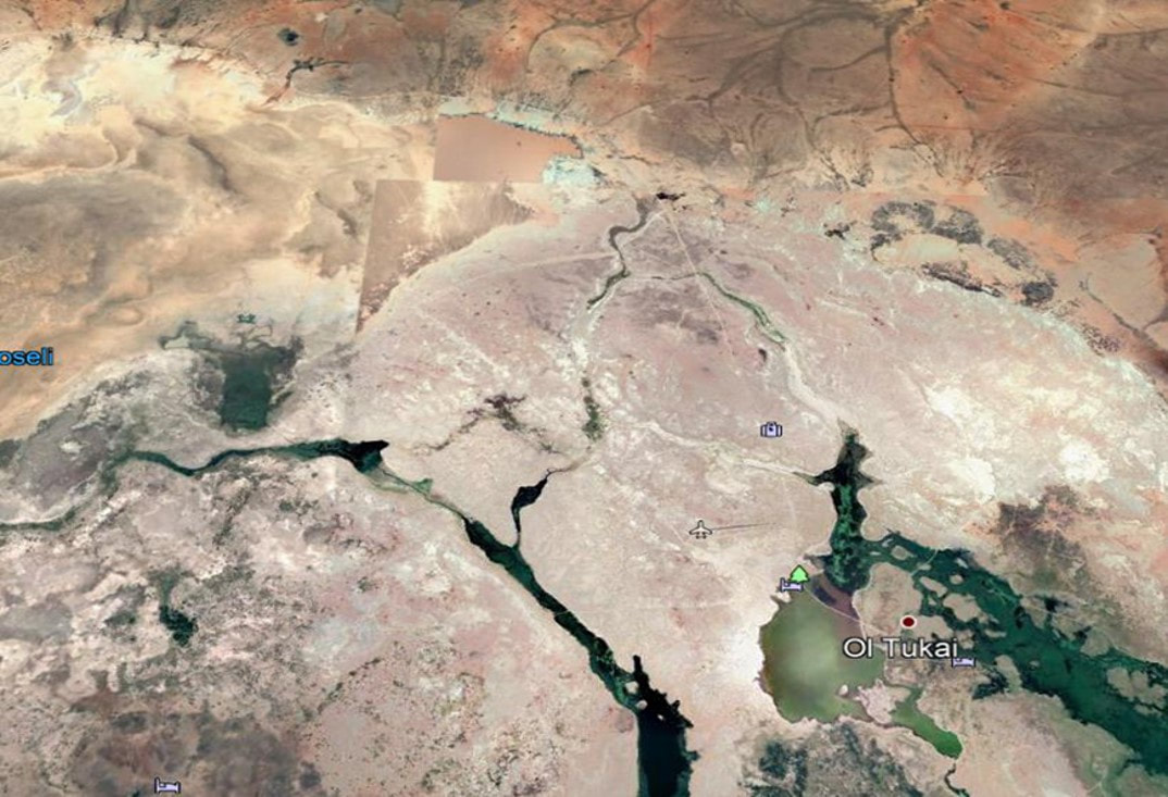
The clearest evidence of the flood waters originating off the heavily eroded lands around the park is captured in the satellite image below taken at the height of the floods. The flood waters are red-brown, the color of soils surrounding basin, rather than white soils of the basin and the flood pans filled by internal rainfall.
The way forward
The heavy rains in Kenya which began in September and continued through January caused extreme flooding in Amboseli National Park. By December the floods stretched from the Loitokitok to Namanga roads (see photos below) causing a closure of the airfield and viewing roads. Inbound air traffic was diverted to Tawi and Ol Doinyo Uas strips, resulting in transfer times to the lodges of up to three hours. The disruptions and tourist complaints carried in the social media led to cancellations and heavy revenue losses to the hotels and the Kenya Wildlife Service (KWS).
The lodges, led by Ol Tukai, called for a meeting in Amboseli on 18th January to see what could be done to open the airstrip, roads and solve the flooding problem. The meeting was chaired by the senior warden of Amboseli, Kenneth Nashu, and attended by KWS road engineers, Ol Tukai Serena and Ol Tukai lodge representatives, Amboseli Trust for Elephants and the Amboseli Conservation Program.
The warden noted that the flooding had grown worse in recent years, was causing extensive damage to the roads and threatened the future of tourism in the park. He asked the meeting to identify the source and cause of the flooding, restorative measures for the airfield and roads, and preventive measures to curb future floods. The lodge operators, raising their concerns about the disruptions to visitors and sharp drop in revenues, asked for emergency measures to restore the park.
Asked to give a background to the flooding, I made the following points and recommendations which I have supplemented with photos:
The clearest evidence of the flood waters originating off the heavily eroded lands around the park is captured in the satellite image below taken at the height of the floods. The flood waters are red-brown, the color of soils surrounding basin, rather than white soils of the basin and the flood pans filled by internal rainfall.
The way forward